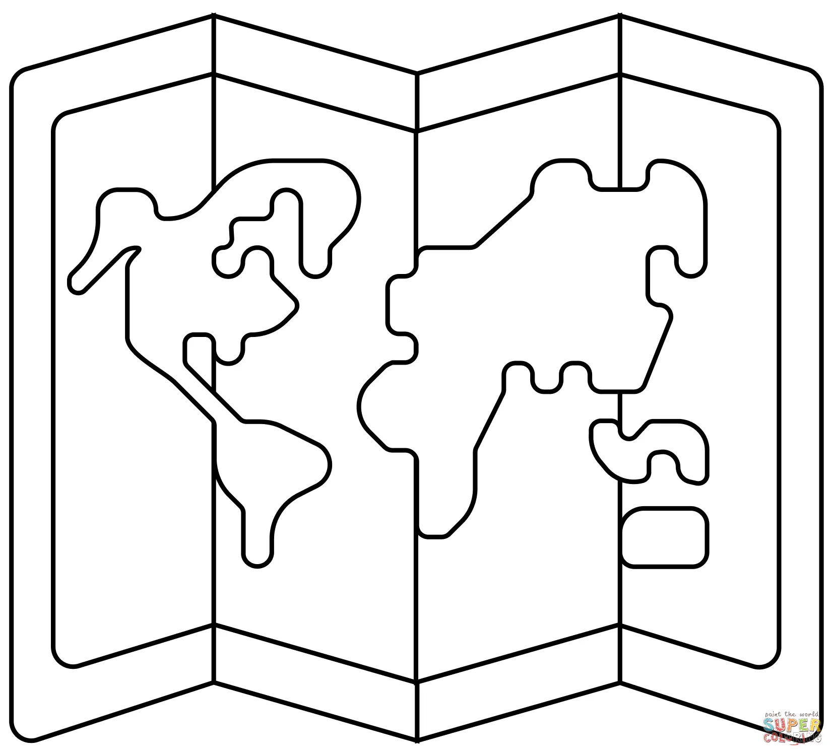
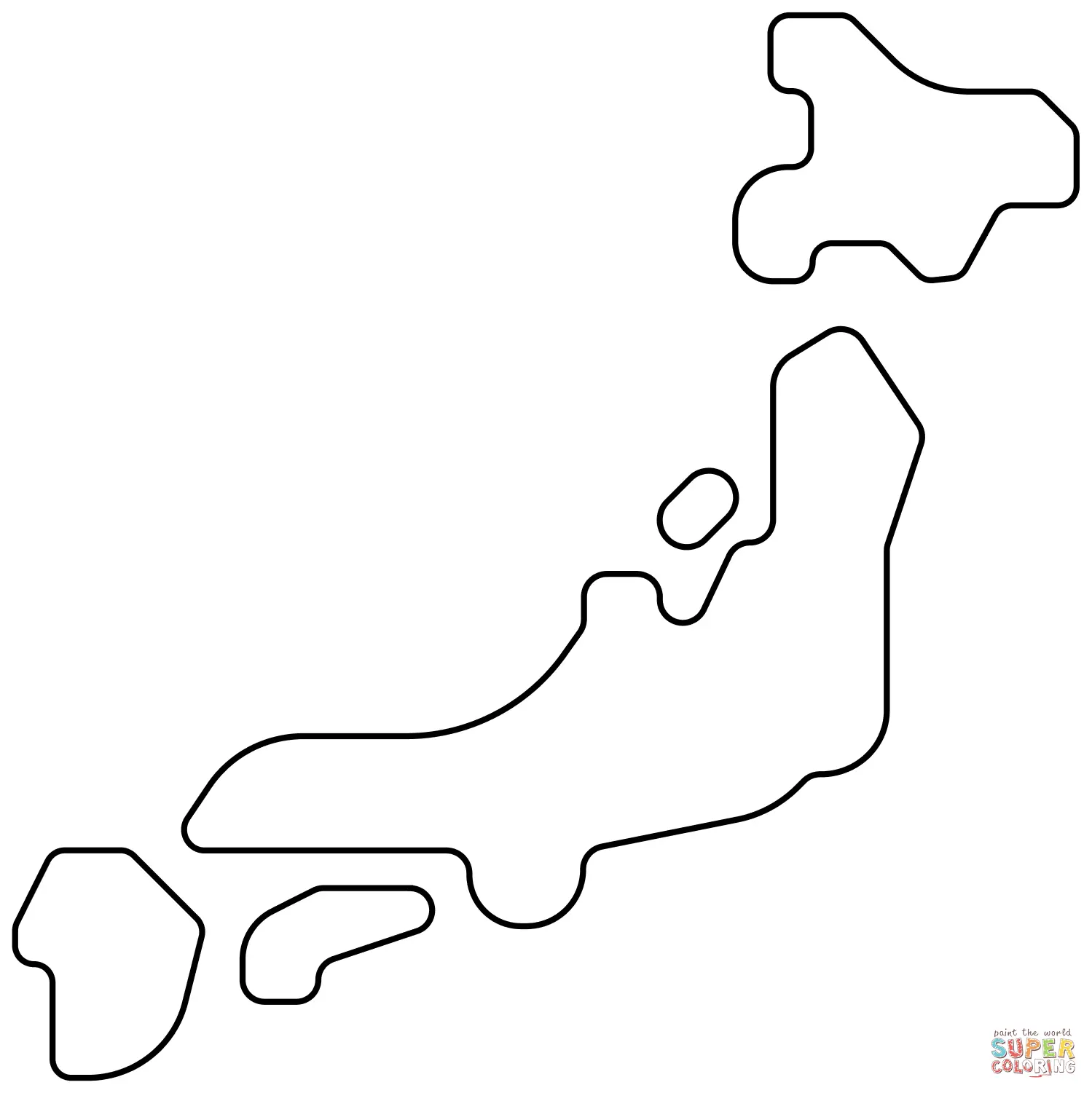
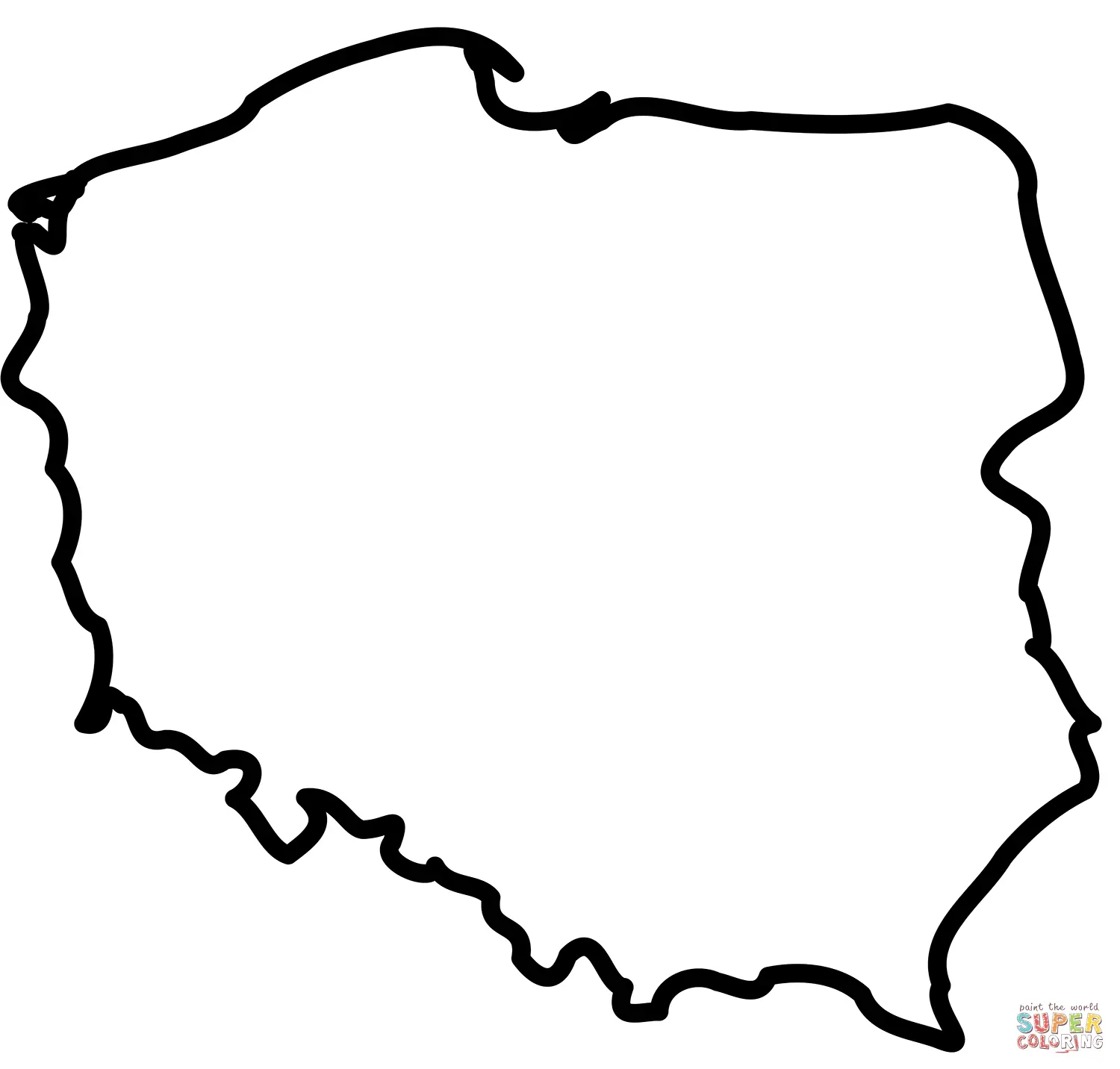
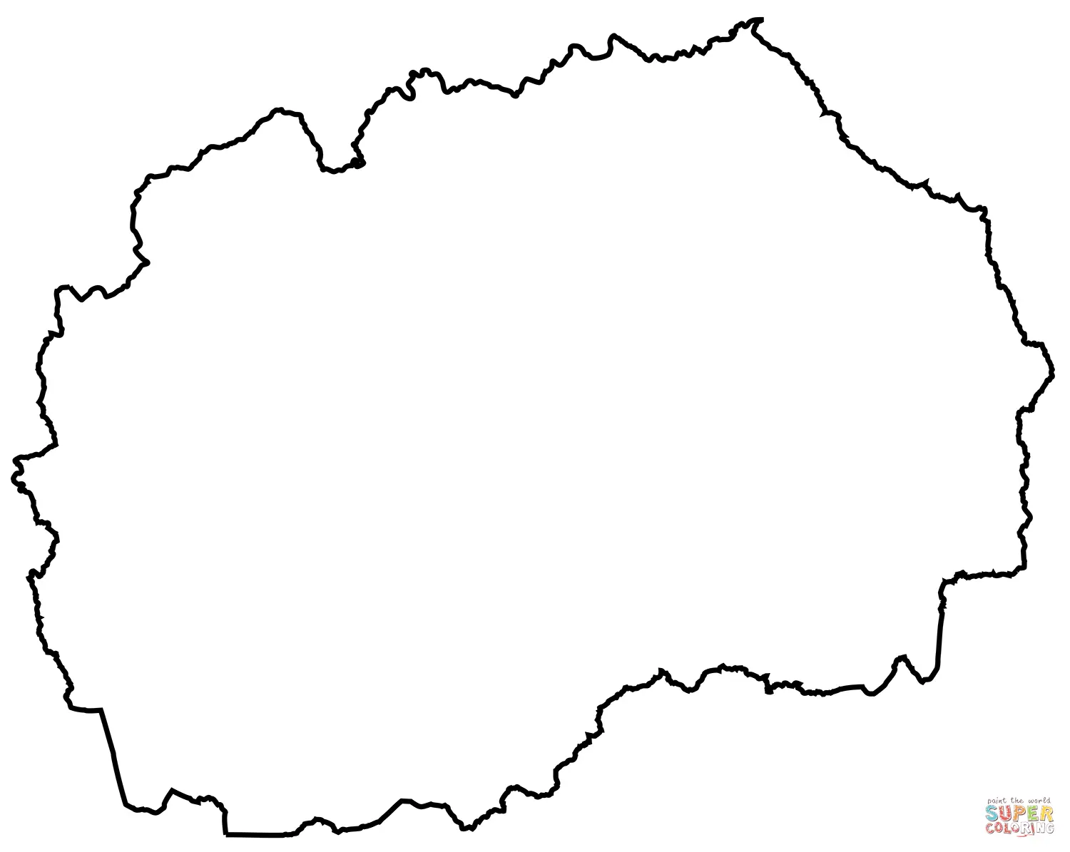
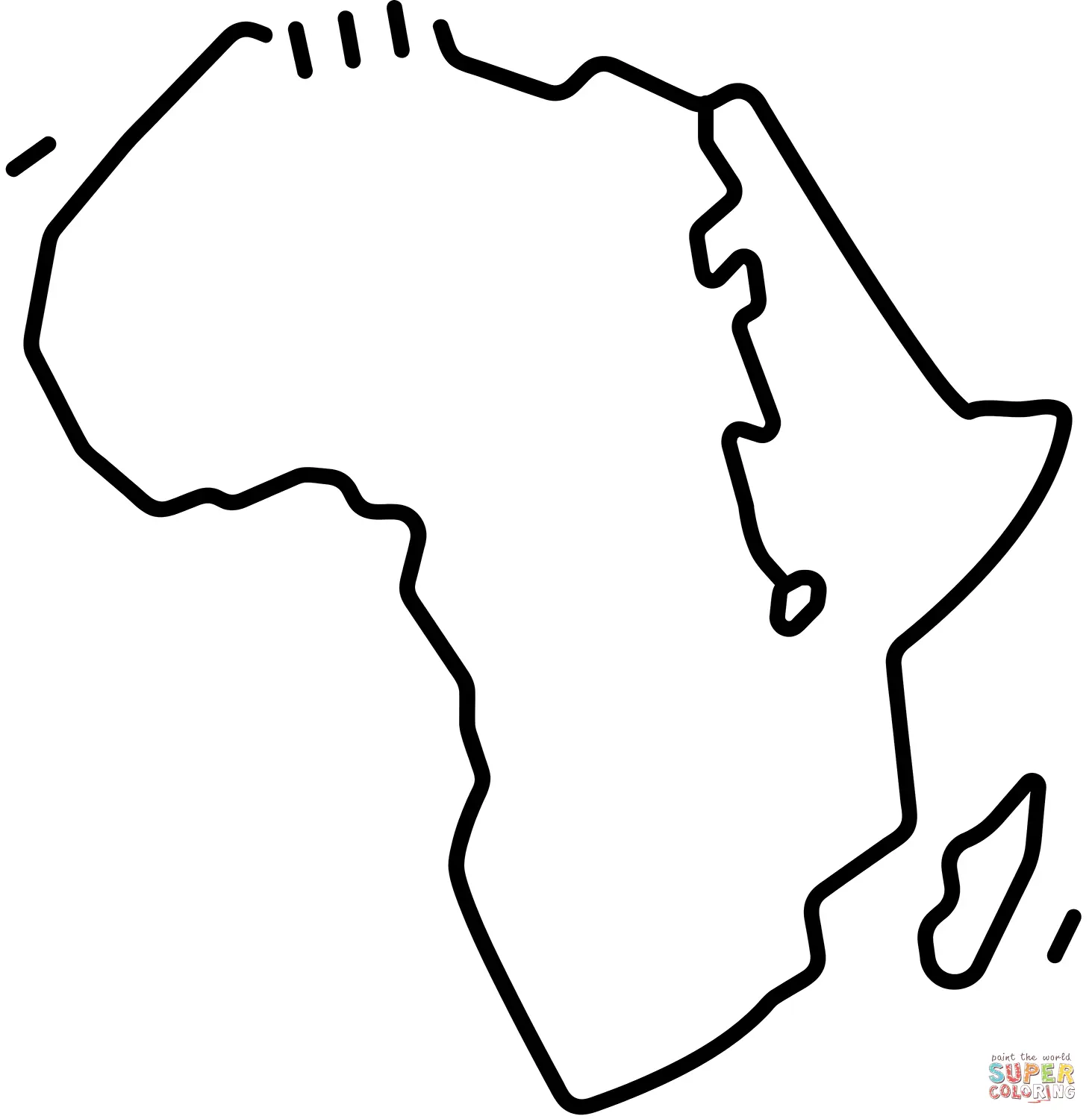
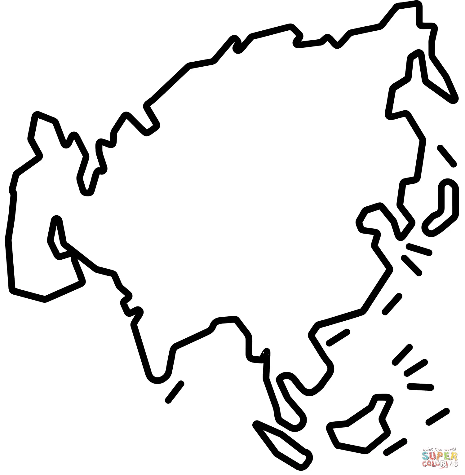

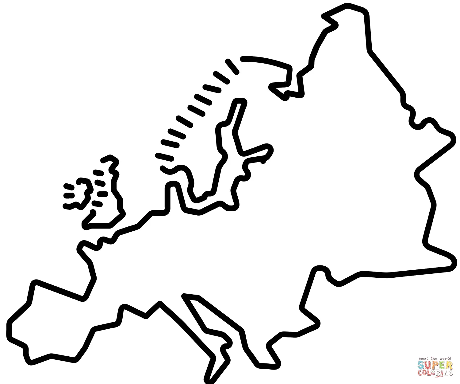
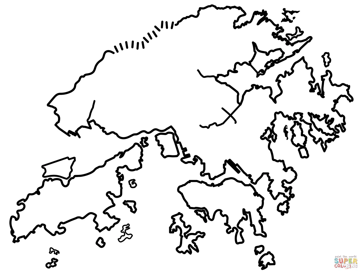
Geography becomes an exciting adventure when children explore the world through maps coloring pages. These educational resources transform learning about continents, countries, and geographical features into an engaging artistic experience that captivates young minds while building essential knowledge about our planet. Just Coloring Pages offers an extensive collection of printable map designs that cater to various age groups and skill levels, making geography accessible and enjoyable for everyone.
Maps coloring pages serve as powerful educational tools that combine visual learning with hands-on creativity. When children color different countries, they naturally absorb information about geographical boundaries, relative sizes of nations, and spatial relationships between various regions. This tactile approach to learning geography helps students retain information more effectively than traditional memorization methods. The process of selecting colors for different territories encourages decision-making skills while developing fine motor coordination through careful coloring within boundaries. Educational research consistently demonstrates that kinesthetic learning activities like coloring enhance memory retention and comprehension, making these printable resources invaluable for both classroom instruction and home education.
Teachers frequently incorporate maps coloring pages into their lesson plans because these materials address multiple learning objectives simultaneously. Students develop geographical awareness while practicing color recognition, following directions, and improving concentration skills. The visual nature of map coloring helps children understand abstract concepts like political boundaries, which can be challenging to grasp through verbal explanation alone. Furthermore, completed colored maps serve as personalized reference materials that students can use for future geography studies, creating lasting educational value from a single activity.
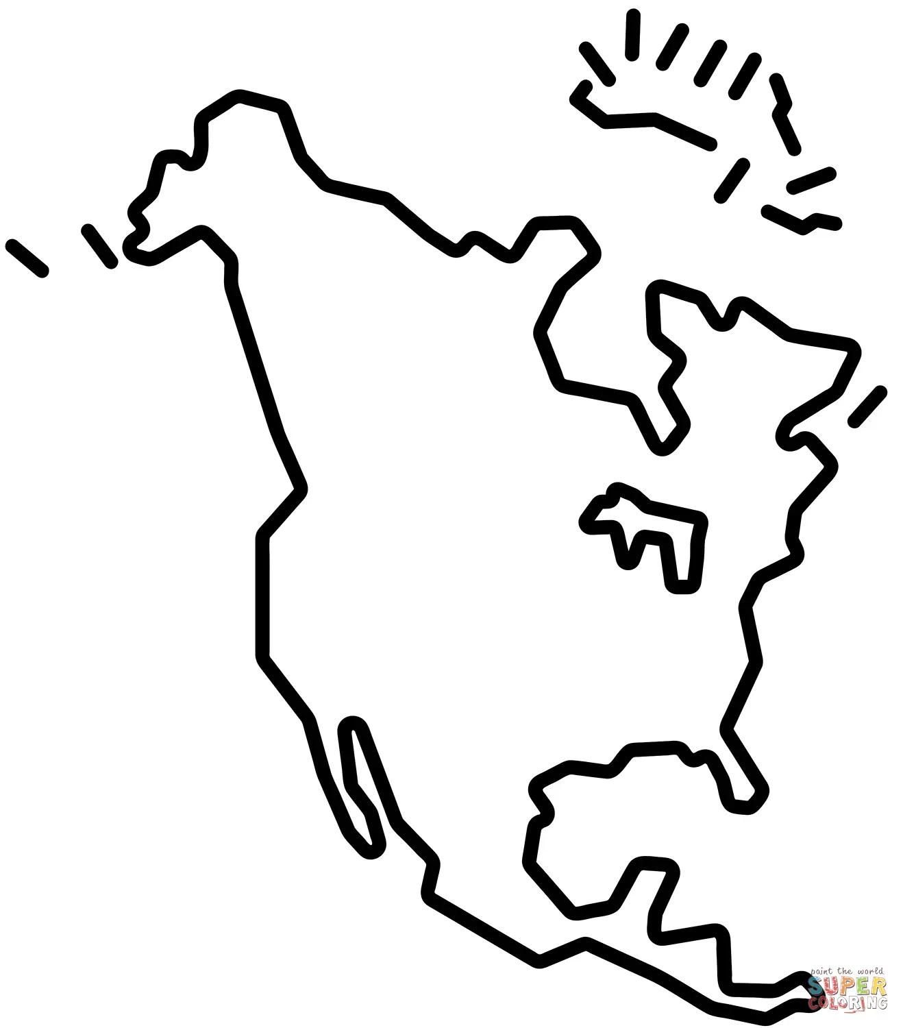
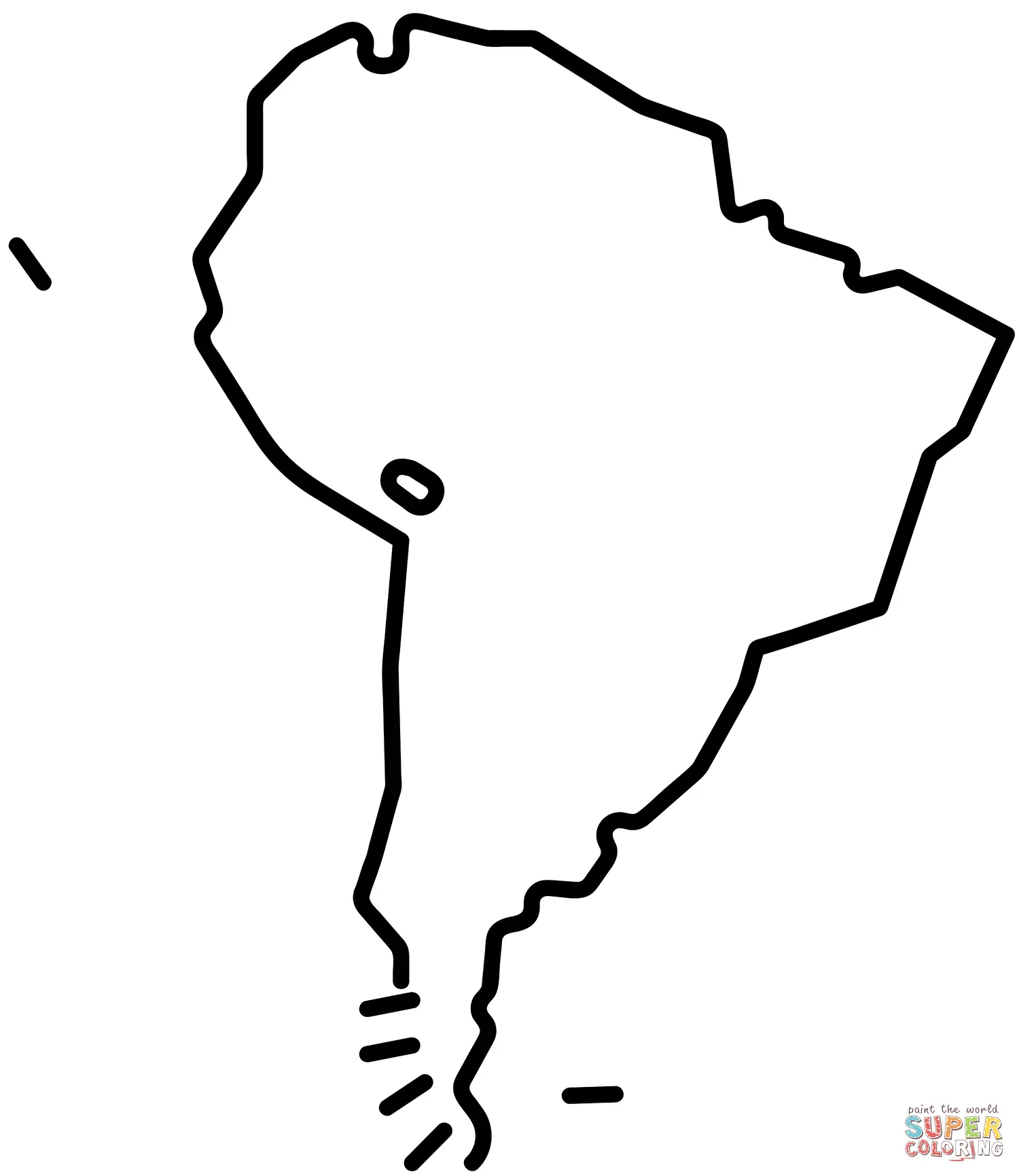
World maps coloring pages provide children with their first comprehensive view of Earth's geography, introducing them to the seven continents and five oceans in an interactive format. These detailed illustrations typically feature clearly marked country boundaries, major cities, and significant geographical landmarks that help young learners understand the diversity and scope of our planet. Just Coloring Pages offers world map designs ranging from simple continent outlines suitable for preschoolers to detailed political maps that challenge older students with intricate country borders and capital city locations.
Coloring world maps encourages cultural curiosity as children often ask questions about different countries they encounter during the activity. Parents and teachers can use these moments to discuss various cultures, languages, and traditions associated with different regions, expanding the educational impact beyond pure geography. The global perspective gained through world maps coloring pages helps children develop international awareness and appreciation for diversity from an early age. Many families use these coloring activities to trace their heritage or plan future travel destinations, making geography personally relevant and meaningful.
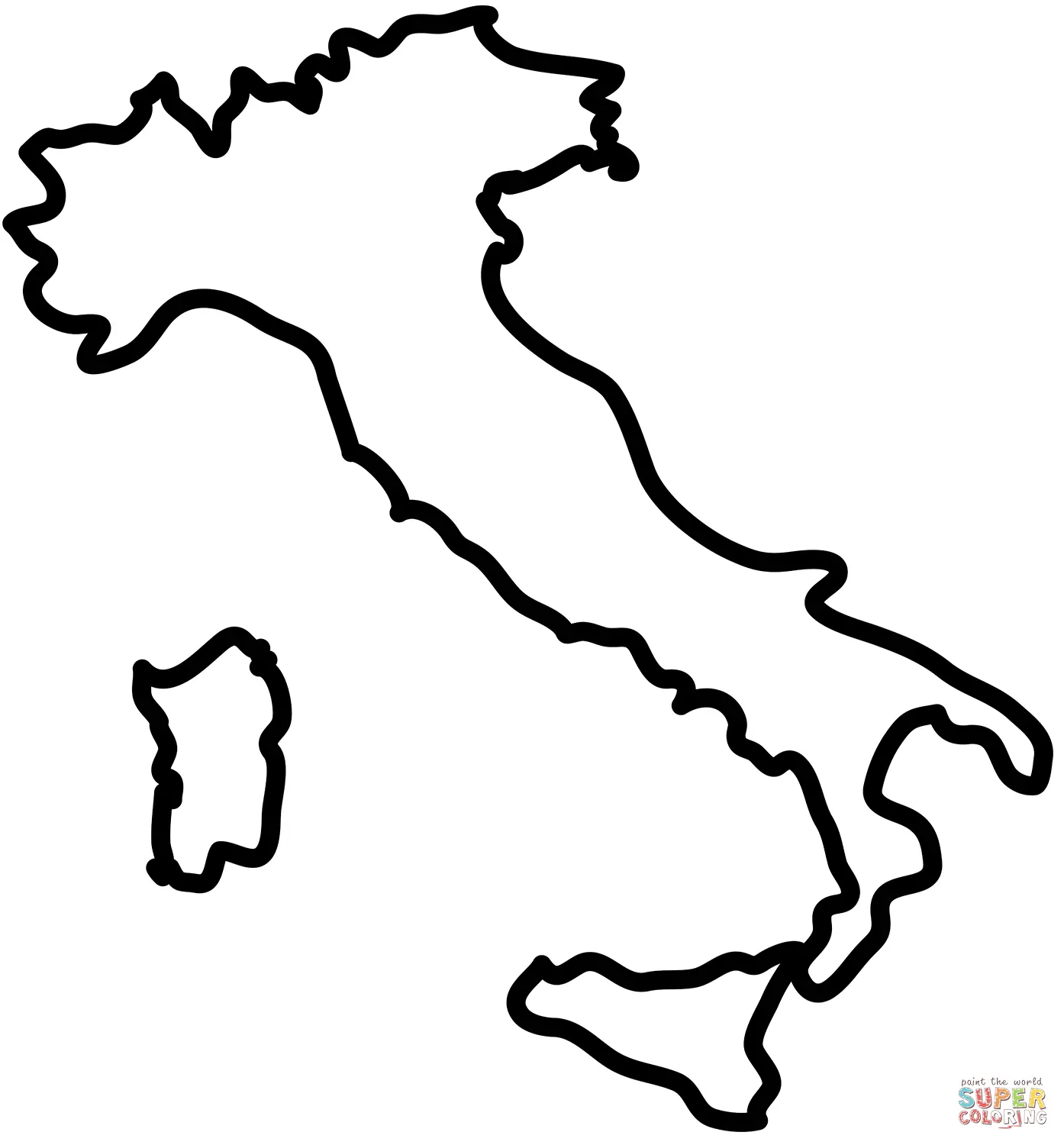
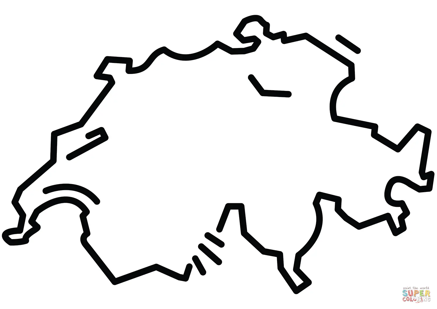
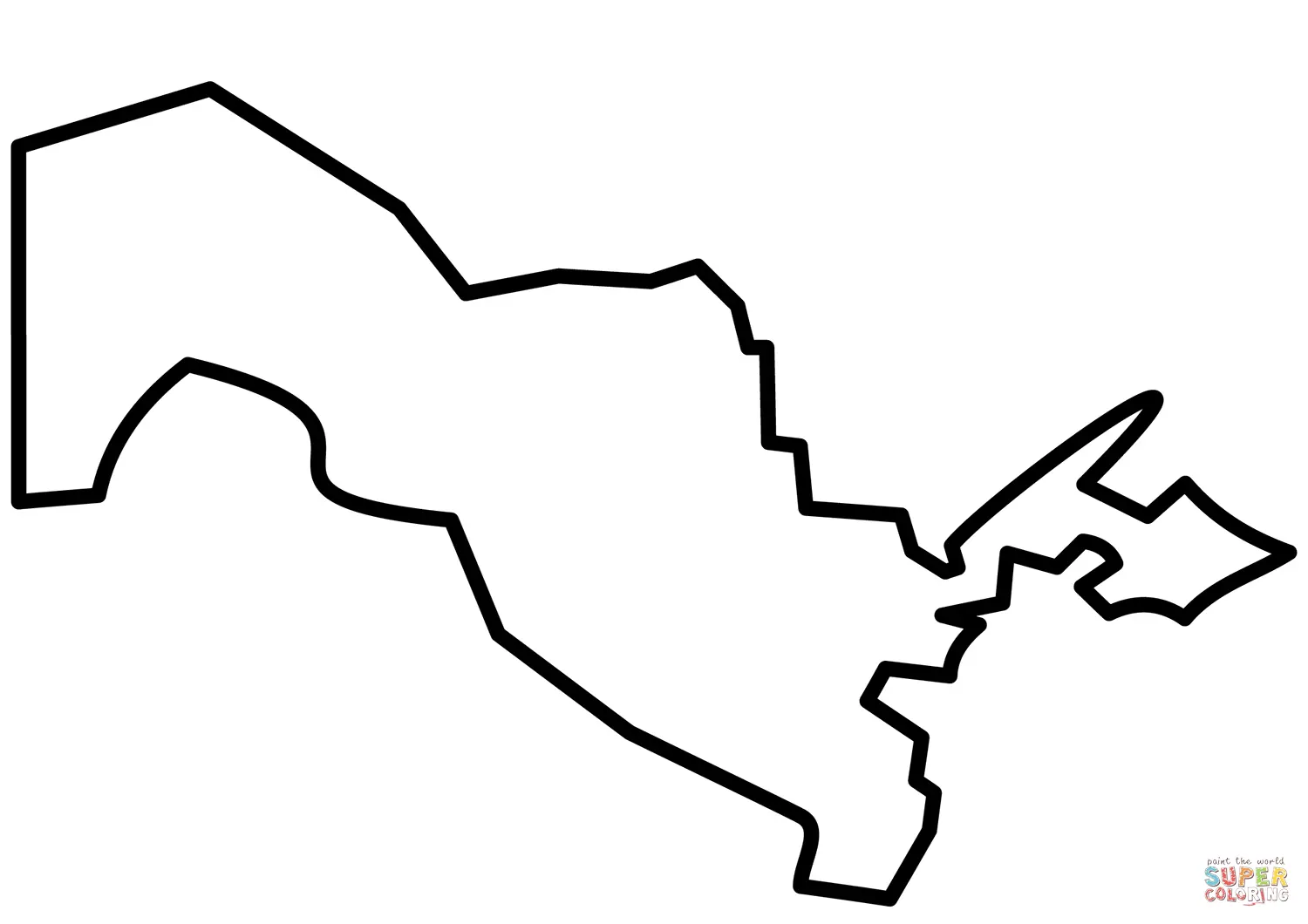
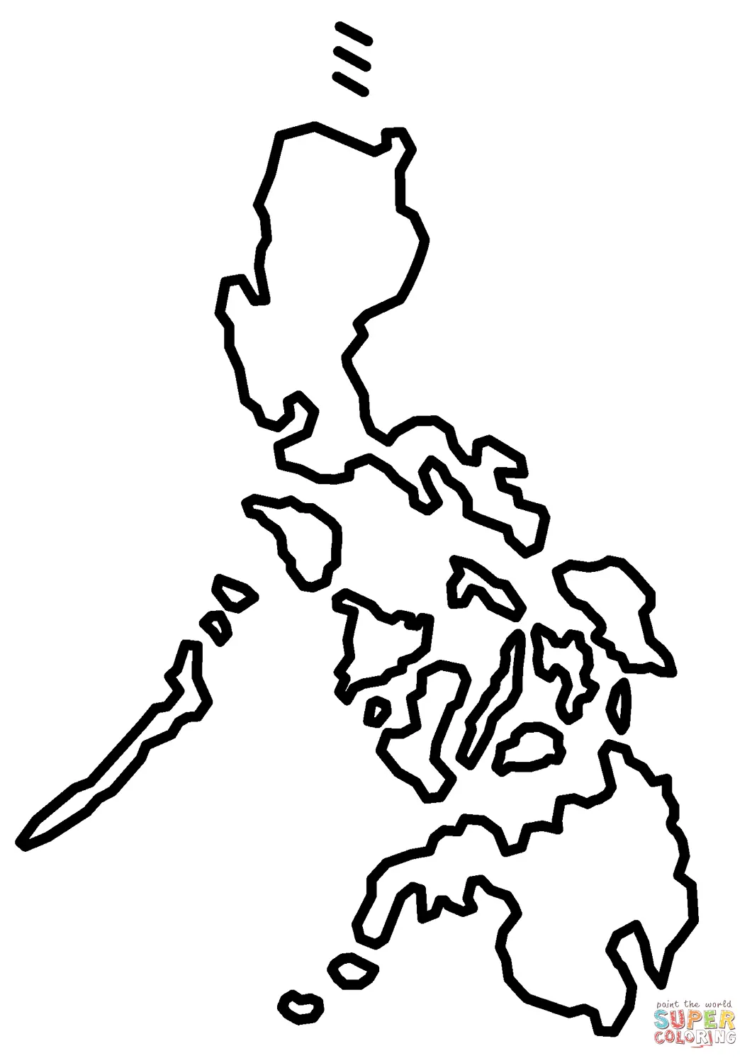
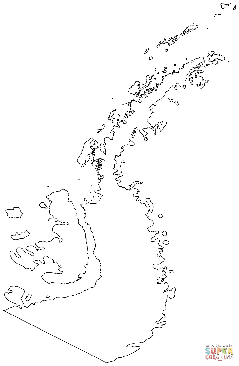
Individual country maps coloring pages allow for deeper exploration of specific nations, featuring detailed state or province boundaries, major rivers, mountain ranges, and significant cities. These specialized coloring sheets are particularly valuable for students studying particular countries in social studies classes or for families with cultural connections to specific regions. The detailed nature of country-specific maps provides opportunities to learn about internal geography, including state capitals, major waterways, and topographical features that shape each nation's character.
United States maps coloring pages remain among the most popular choices, offering various complexity levels from simple state outline maps to detailed versions showing major highways, national parks, and geographical features. Children learning about American geography benefit tremendously from coloring individual states while discussing their unique characteristics, historical significance, and cultural contributions. Similarly, maps featuring other countries provide insights into international geography, helping students understand how geographical features influence culture, economy, and lifestyle in different parts of the world.
Historical maps coloring pages transport children through time, showing how political boundaries and geographical understanding have evolved throughout human history. These fascinating educational tools feature ancient civilizations, exploration routes, and historical empires that shaped our modern world. Students can color maps showing the Roman Empire at its peak, trace the routes of famous explorers like Marco Polo or Christopher Columbus, or explore how the United States expanded westward during the 19th century.
The educational value of historical maps coloring pages extends beyond geography into social studies and world history. Children gain visual understanding of how civilizations rose and fell, how trade routes connected distant cultures, and how geographical features influenced historical events. These coloring activities make abstract historical concepts tangible and memorable, helping students understand the relationship between geography and human development throughout time.
Specialized maps coloring pages focus on specific themes like climate zones, population density, natural resources, or wildlife habitats, providing targeted educational experiences that align with particular curriculum objectives. These thematic maps help children understand how geography influences various aspects of life on Earth, from weather patterns to animal distribution. Climate zone maps allow students to explore why different regions experience varying weather conditions, while wildlife habitat maps show how geographical features determine where different species live.
Ocean and underwater maps coloring pages introduce children to marine geography, featuring ocean currents, underwater mountain ranges, and deep-sea trenches that remain mysterious to many adults. These specialized coloring sheets expand geographical understanding beyond land masses, helping students appreciate the complexity and importance of marine environments. Topographical maps coloring pages use contour lines and elevation markers to teach children about mountains, valleys, and other landforms, providing foundation knowledge for understanding how terrain affects human settlement patterns and natural phenomena.
Printable maps coloring pages offer unmatched convenience for parents, teachers, and caregivers who need immediate access to educational materials. Just Coloring Pages provides high-quality downloadable files that can be printed at home or school, eliminating the need to purchase expensive workbooks or wait for shipping. This accessibility ensures that learning opportunities are always available, whether for planned lessons or spontaneous educational moments.
The printable format allows for multiple uses of the same maps coloring pages, enabling children to experiment with different color schemes or create multiple versions for comparison purposes. Teachers can easily reproduce materials for entire classrooms, while parents can print additional copies when siblings want to participate in the same activity. The digital nature of these resources also supports environmentally conscious families who prefer to print only what they need rather than purchasing physical books that may not be fully utilized.
Maps coloring pages designed for different age groups ensure that children can engage with geography at their appropriate developmental level. Simple continent outlines work perfectly for preschoolers who are just beginning to understand that the world extends beyond their immediate environment. These basic designs feature large, easy-to-color areas with minimal detail that won't overwhelm young children while still providing meaningful learning experiences.
Elementary school students benefit from maps coloring pages with moderate complexity, featuring country boundaries and major geographical features without excessive detail. These intermediate designs challenge developing fine motor skills while introducing more sophisticated geographical concepts. Advanced maps coloring pages suitable for middle school students and adults include intricate political boundaries, detailed topographical features, and comprehensive labeling that provides extensive learning opportunities for serious geography enthusiasts.
Beyond simple coloring activities, maps coloring pages serve as foundation materials for numerous creative projects that extend learning and engagement. Students can create personalized atlases by collecting and coloring maps from different regions, organizing them into bound books that serve as ongoing reference materials. Travel journals incorporating colored maps help children document family trips or dream destinations, combining geography with personal storytelling and creative writing.
Classroom displays featuring student-colored maps coloring pages create immersive learning environments that reinforce geographical concepts throughout the school year. Teachers often organize collaborative projects where different students color maps of various countries, then present their work to classmates while sharing interesting facts about their assigned regions. These presentation activities combine geography, research skills, and public speaking practice into comprehensive learning experiences that benefit multiple areas of student development.
Modern technology enhances the educational value of maps coloring pages through digital integration possibilities that weren't available to previous generations. Students can photograph their completed colored maps and use them in digital presentations, social media projects, or online portfolios that showcase their learning progress. Educational apps and websites allow children to compare their colored maps with satellite imagery, photographs, and additional geographical information that deepens their understanding of the regions they've explored through coloring.
Interactive whiteboards and tablets can display maps coloring pages for group coloring activities that encourage collaboration and discussion among students. Digital coloring tools provide alternatives for children with motor skill challenges while maintaining the educational benefits of the mapping activities. These technological enhancements expand accessibility and engagement possibilities without diminishing the fundamental educational value of traditional coloring experiences.
Just Coloring Pages stands out as the premier destination for maps coloring pages because of our commitment to educational quality, artistic excellence, and user convenience. Our extensive collection includes maps representing every continent, numerous individual countries, historical periods, and specialized themes that support diverse learning objectives. Each design is carefully crafted to ensure educational accuracy while maintaining the engaging visual appeal that makes coloring activities enjoyable for children and adults alike.
The convenience of instant downloads means that educational opportunities are always at your fingertips, whether you're planning lessons weeks in advance or need last-minute activities for unexpected teaching moments. Our maps coloring pages are designed to print clearly on standard home printers, ensuring that quality isn't compromised by accessibility. The variety of complexity levels available ensures that every user can find appropriate materials regardless of age, skill level, or specific educational goals, making Just Coloring Pages the comprehensive resource for geography-based coloring activities that truly make learning an adventure.